
1966-census-statistical-division-map-central-tableland
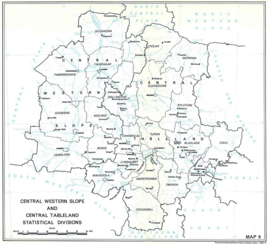
The map of Central Western Slope Statistical Division showing the LGAs of Goobang, Jemalong, Boree and Timbrebongie that data was collected from the towns in previous Census years. Only five localities featured in the 1966 Census: Parkes, Peak Hill, Bogan Gate, Trundle and Tullamore. Source: Australian Bureau of Statistics
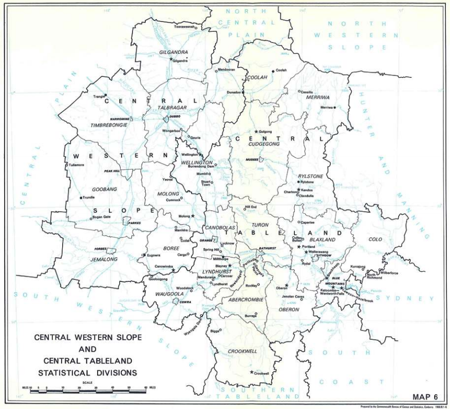
The map of Central Western Slope Statistical Division showing the LGAs of Goobang, Jemalong, Boree and Timbrebongie that data was collected from the towns in previous Census years. Only five localities featured in the 1966 Census: Parkes, Peak Hill, Bogan Gate, Trundle and Tullamore. Source: Australian Bureau of Statistics
